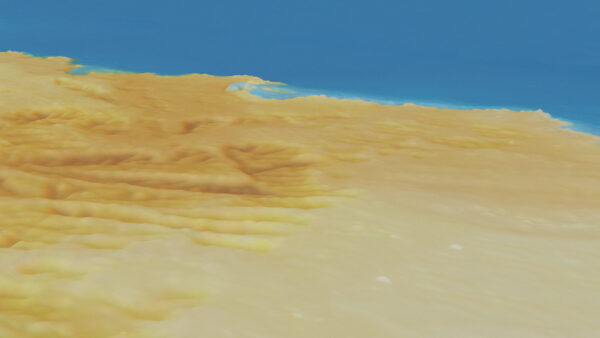
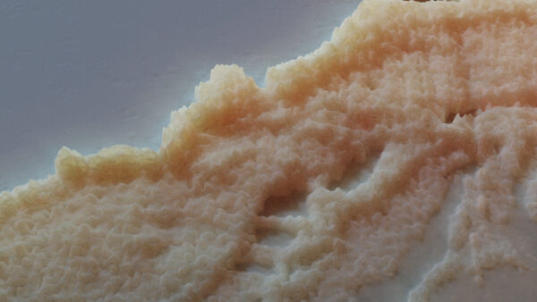
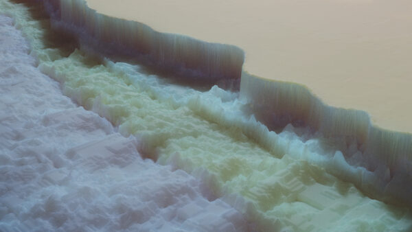
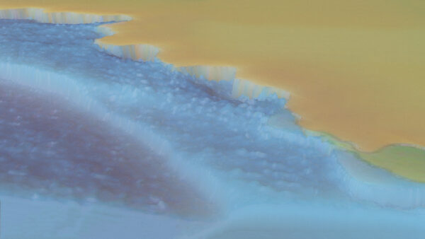
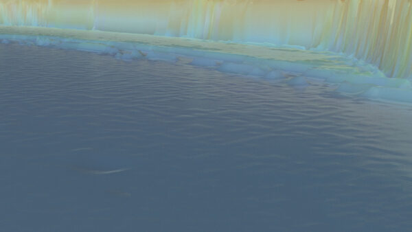
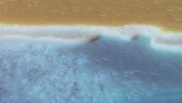
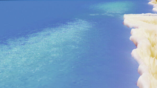
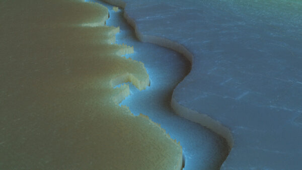
Underwater, divers interpret elevation changes via color shifts, similar to how maps use gradients to represent topographical features. In 3D modeling, gradients often define displacement data, shaping virtual landscapes. This project utilizes a series of maps from dive sites around the Gulf of Aqaba as displacement maps to create the “virtual shores,” blending the concepts of gradients across diving, mapping, and digital modeling. This work reflects the artist’s response to her diving experience in Aqaba, where a diver advised, “Follow the gradient, and you’ll find the shore.”